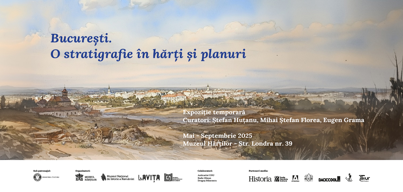
Expoziție Temporară
Starting May 22, we invite you to visit the documentary exhibition Bucharest. A Stratigraphy in Maps and Plans, curated by Mihai Ștefan Florea, museographer (National History Museum of Romania), Ștefan Huțanu, architect and 3D designer (Lavița Verde) and Eugen Grama, museographer (Museum of Maps). The project is organized by the Museum of Maps and the National History Museum of Romania, with the support of the Ministry of Culture, in partnership with the Bucharest Municipality Museum, Anticariat Unu, and Lavița Verde.
The exhibition offers an exploration of Bucharest’s urban history from the mid-19th century through maps and plans, archival images, and a 3D model that reconstructs places and areas that have disappeared or have been profoundly changed in the urban structure of Bucharest.
The exhibition will be open from May to September 2025, with visiting hours from Wednesday to Sunday, 10:00 AM to 6:00 PM.
Ticket price: 10 lei.
The exhibition aims to present in detail the maps and plans that captured Bucharest from 1843 to the period following the First World War. Its cartographic foundation is provided by the Borroczyn Plan- the city’s first cadastral plan – created between 1844 and 1846 by Prussian Major Arthur Rudolf von Borroczyn and his team. Various relevant documents will also be presented, that contribute to the understanding of urban mapping efforts in the first half of the 19th century.
In addition to 3D model, maps, and plans, the exhibition also features graphic artworks depicting 19th-century urban landscapes of Bucharest, as well as a rare panorama of the city viewed from Colțea Tower. This panorama was recreated based on photographs attributed to artist Carol Popp de Szathmary, one of the first documentary photographers in the Romanian Kingdom. The reconstructed image of the city, brought to life through projections and the 3D model, enhances this visual and documentary journey, offering visitors an immersive and educational experience.