Expoziție Temporară
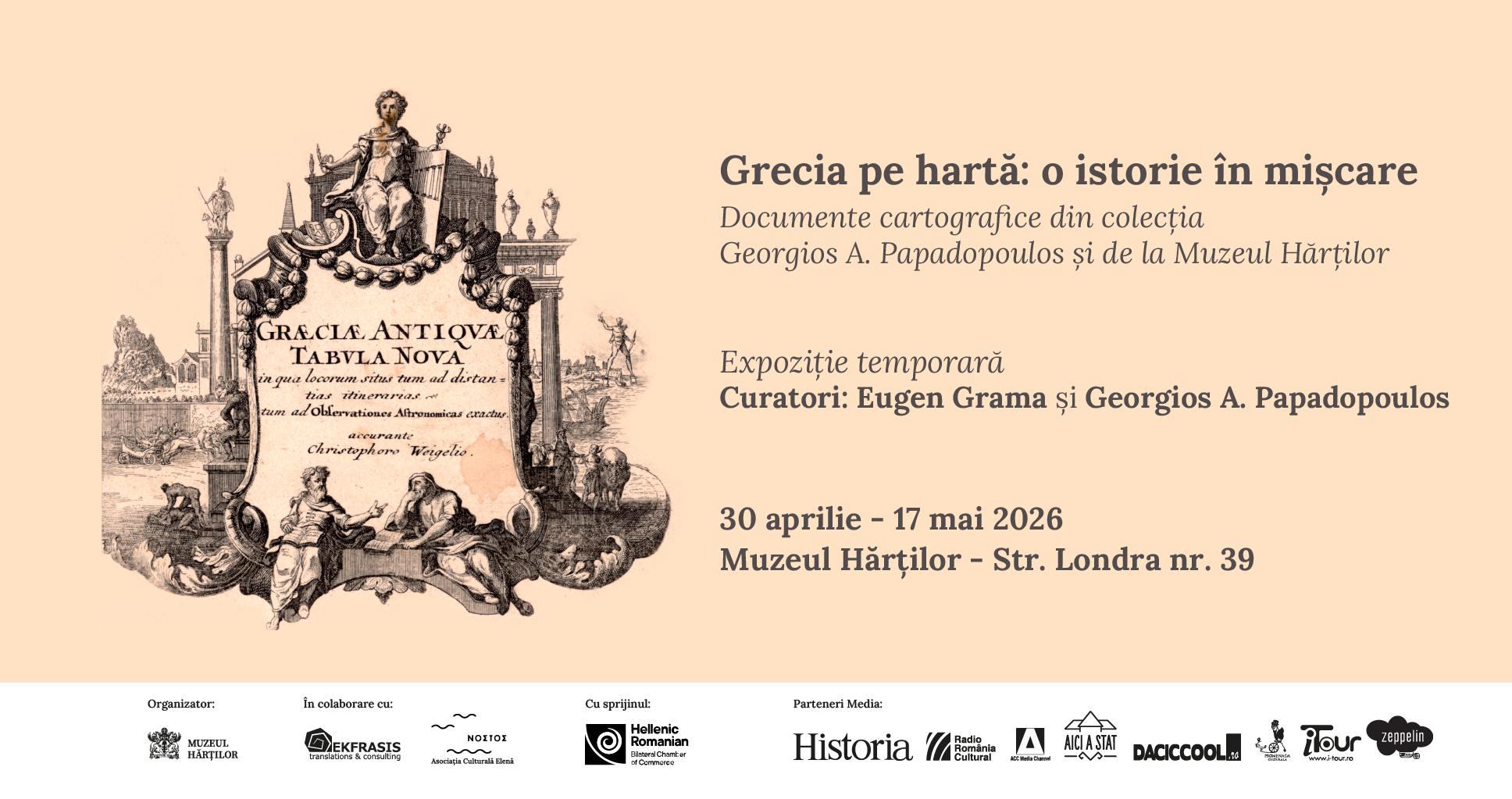
Greece on the Map: A History in Motion. Cartographic Documents from the Georgios A. Papadopoulos Collection and the Museum of Maps is the title of the temporary exhibition we are offering to the public starting April 30, 2026. From the territory of ancient city-states to the administrative maps of the 20th century, the exhibition trajectory highlights the political and territorial transformations that led to the shaping of the modern Greek state. Through the pieces selected by curators Georgios A. Papadopoulos and Eugen Grama from the private collection and the heritage of the Museum of Maps, visitors are invited to discover the evolution of a space that is defining for European culture, as reflected in cartographic documents over time.
Vernissage: April 29, 2026, at 18:00. Access to the vernissage is free.
Exhibition Dates: April 30 – May 17, 2026
Location: Museum of Maps, 39 Londra Street, Bucharest.
Visiting Hours: Wednesday – Sunday, 10:00 – 18:00.
Ticket Prices: 10 lei (Full price), 5 lei (Seniors) 2.5 lei (Students and pupils)
Online tickets: HERE
The exhibition proposes a journey through the history of Greece seen through the lens of maps, tracing how a culturally and historically well-defined space came to be outlined, redefined, and stabilized as a modern state.
Early Perspectives: The first part of the exhibition features maps that capture Greece in broader contexts: either as a space of Antiquity or as part of the Ottoman Empire, within European representations of “Turkey in Europe.” These cartographic images do not only reflect geographical realities but also external perspectives on the region, where Greek territories are integrated into a vast political ensemble, alongside the Balkan region and other provinces of the empire.
The 19th Century: This era marks an essential moment: the emergence of the modern Greek state and the beginning of a complex process of border definition. Maps from this period, alongside those dedicated to conflicts in the Balkans and World War I, highlight the dynamic character of the borders. Territorial expansions, disputes, and alliances are directly reflected in how the space is represented, with each map becoming a testament to a specific political moment.
The 20th Century: With the relative stabilization of borders, administrative and educational maps appear more frequently, showcasing not only the limits of the state but also its internal organization. These mark the transition from a disputed territory to a consolidated state, where cartography becomes an instrument of information and education.
Through their diversity—ranging from historical and political maps to military and administrative representations—the works highlight the essential role of cartography in understanding and representing this journey, as well as the link between geography, history, and identity.